Less than ten years old, Rocky Fork is one of the newest state parks in Tennessee. It is just off I-26 near Flag Pond, TN only a few miles from the NC border.
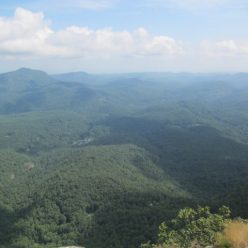
The park mostly protects the Rocky Fork watershed which comes down from the Appalachian Ridge along the state line. Trails mostly follow the Rocky Fork and side creeks.

Amenities are severely limited. There is a small gate to the left off of Rocky Fork Rd. It has an understated Tennessee State Parks sign on it and you should turn here rather than continuing on up the hill. Once inside there is a small gravel parking lot, a trailhead and that’s about it really. There are temporary bathroom facilities only.
The rocky fork trail heads up the creek and within the first mile there are three or four junctions with other trails (some of them with signs…)

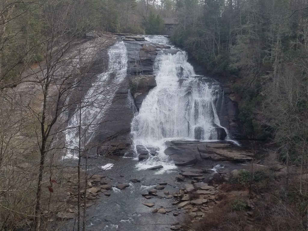
Even by the stunningly clear water standards in the remote Appalachian valleys, the Rocky Fork has stunningly clear water. There are four foot deep pools where you can see every detail of the crayfish amongst the rocks on the bottom.

Just under a mile from the trailhead is this bridge where the Flint Creek Trail crosses the Rocky Fork. Not far up the trail from here is an open meadow full of milkweed and blackberries which is marked as the Flint Creek Battle Site. We had to look this one up. It was a small battle between native Americans and the short-lived State of Franklin.
If you’re coming to hike in Rocky Fork, print out a trail map before you come. There is no map info at the trailhead and no facilities around. In fact, there’s a sign at the trailhead listing place where you can buy a map. It’s empty.